The real 401
Road Bandits is set on a real highway. Ontario's Highway 401 crosses the top of Toronto, and by traffic it is the busiest highway in North America. This page is about the real road, and how we rebuilt its Mississauga and Toronto stretch for the game.
The highway
Highway 401, the Macdonald–Cartier Freeway, runs about 828 km across southern Ontario, from Windsor at the Detroit border to the Quebec border, where it carries on to Montreal. Through the Greater Toronto Area it is the main east–west route, carrying commuters, travellers and a large share of Canada's road freight.
Its Toronto section began in the 1950s as the Toronto Bypass, a four-lane road around what was then the edge of the city. The city grew past it within a few years, and the road was widened again and again.
Express and collectors
Through Toronto the 401 is two highways side by side in each direction. The express lanes have few exits and are meant for longer trips. The collector lanes carry the traffic getting on and off at each interchange. Ramps between the two, called transfers, let drivers switch. The system was later extended west into Mississauga.
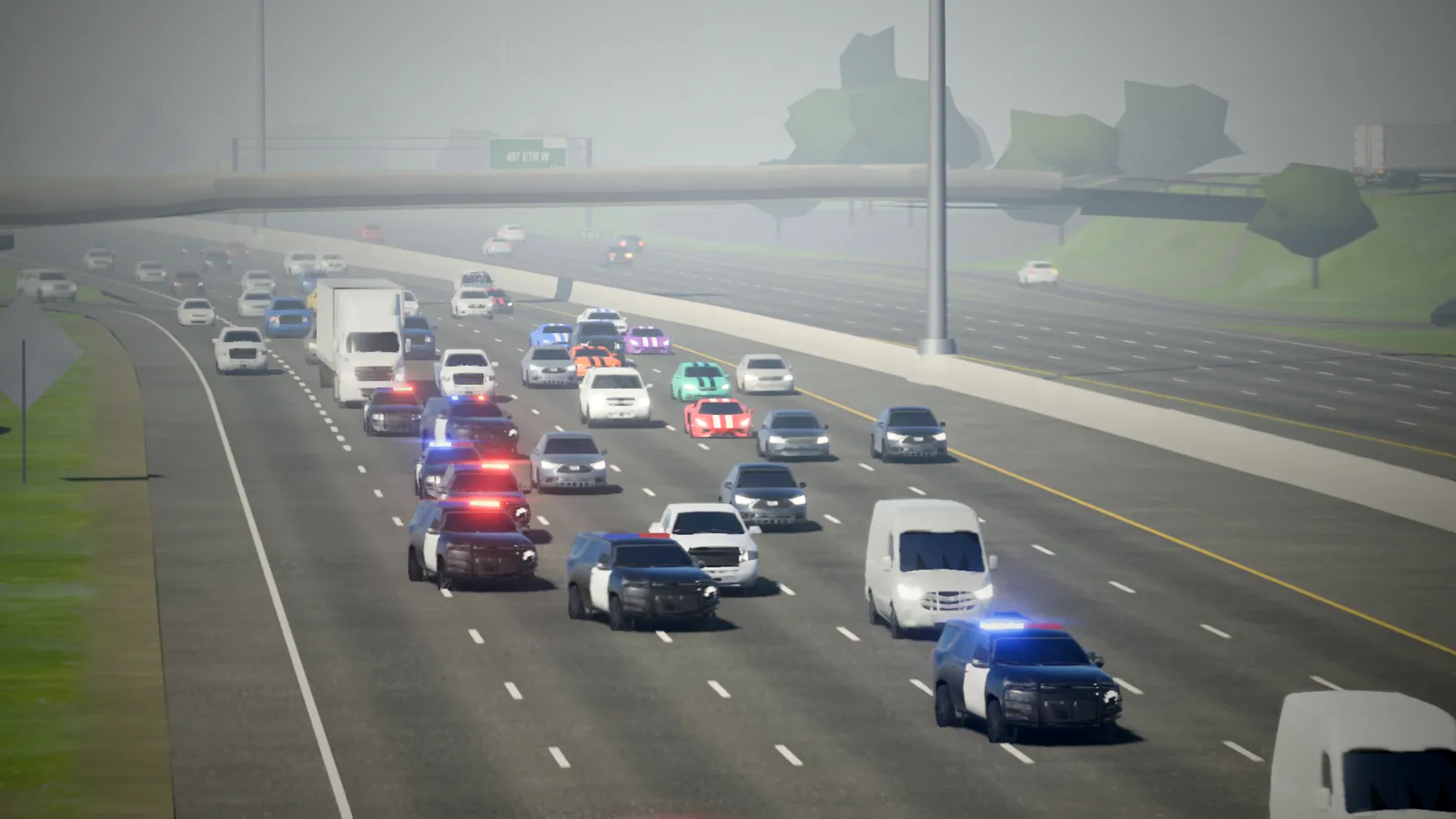
Near Pearson Airport the 401 is 18 lanes wide, among the widest highways anywhere. In the game you race on either carriageway: the transfers are tinted green, the exits red.
The traffic
Ontario's Ministry of Transportation counts over 400,000 vehicles a day on the 401's busiest sections, around Highway 427 and Highway 400. Some counts on some days are higher still. That's more than the Santa Monica Freeway in Los Angeles or I-75 through Atlanta. That's why the game's traffic is busy, and why there's always something to weave around.
How we built it
The game's highway runs about 43 km, from Winston Churchill Boulevard in Mississauga to the Don Valley Parkway. Nothing in it is laid out by hand:
- The roads come from OpenStreetMap, the free map anyone can edit: every lane, ramp, bridge, split and merge, with each road's lane counts and speed limits.
- The heights come from Ontario's lidar surveys, laser scans from aircraft accurate to a few centimetres. They're why the 401 dips into the Credit and Humber valleys, and climbs onto its bridges where the real road does.
- The paint follows the Ontario Traffic Manual: the length of the dashes, the yellow edge on the left, the dotted lines before each exit.
- The signs show each real exit's destinations and number, with advance signs a kilometre and three kilometres out.
- The surroundings (buildings, fields, trees, noise walls and the high-mast lights) come from the same map, around the roads where they are.
Then come the parts maps don't hold: shoulders, median walls, guide rail and bridge decks, placed by the rules real highways are built to. Every wall you can see is a wall your car will hit.
Please don't drive like this. Road Bandits is a game. On the real 401, keep to the limit, keep your distance, and move over for emergency vehicles.
Map data © OpenStreetMap contributors. Contains information licensed under the Open Government Licence – Ontario. More in the credits.
Race it yourself.
Play free now